History: Antique Maps
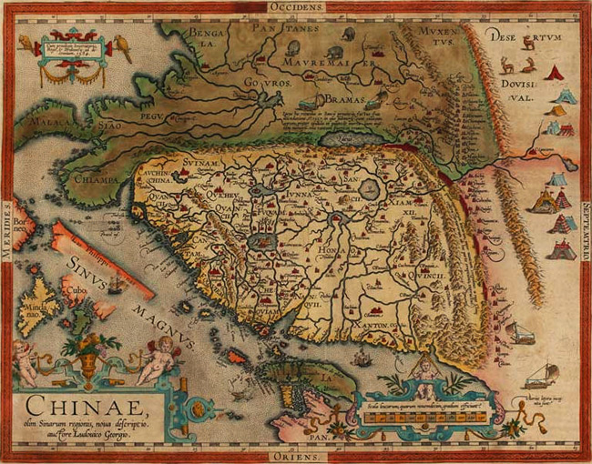
- Title: 1608-12 Map of China
- Description: The most decorative map of China. Oriented with north to the right, there are cartouches for the title, scale and privilege; on the map are elephants, Tartar tents and land-yachts. Japan has an extra landmass to the east, with its further reaches hidden by the scale cartouche. The Philippines appear, but with little accuracy or detail; they were not even named until the second state
- Publisher: Abraham Ortelius
- Download: High-Res pdf
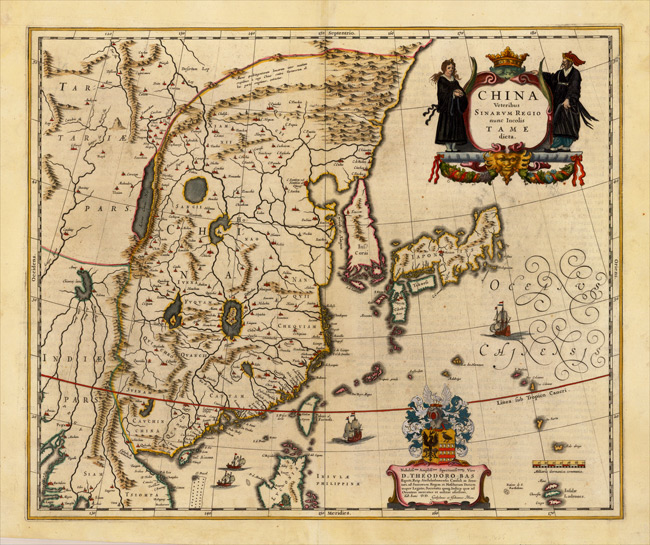
- Title: 1636 ca Map of China, Japan, Korea
- Description: Decorative map of China, Japan, Korea and including the north portion of the Philippines. The map depicts the eastern part of China (bounded in the west by the Great Wall), Korea as an island, and the three main islands of Japan.
- Publisher: Willem Janszoon Blaeu
- Download: High-Res pdf
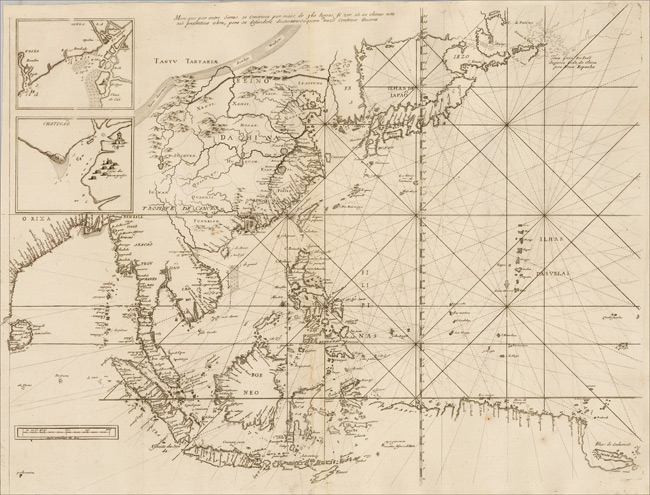
- Title: 1663 Map of Southeast Asia, China &c
- Description: Second and highly revised state of this important early map of Southeast Asia, showing the region between Ceylon, Japan, the Mariana Islands and Timor, the Philippine Islands at center, published by Thevenot in his Relations de divers Voyages. At top left 2 small inset-maps, one showing the delta of the Ganges river; furthermore a drawing of the Great Wall in China, and a note reflecting the voyage of J. da Gama from China to Mexico. As noted by Suarez, the map is an engraved rendering of a Portuguese portolan chart in 1664, which was the very year that the French East India Company was formed. The map appeared in the second part Thevenot’s great compendium of voyages, Relations de divers Voyages, a work which was to France what Hakluyt’s writing had been to England and Ramusio’s had been to Italy. The map is based upon a 1649 portolan chart by the Portugese Royal mapmaker Joao Teixeira. The present example is from 1672 or 1696. It can be distinguished from the first edition of 1663 by the addition of a number of rivers, lakes, mountains, including the names of provinces to the interior of China. The Great Wall of China is also completely re-done. This later edition also includes newly engraved compass lines
- Publisher: Melchisedec Thevenot
- Download: High-Res pdf
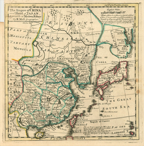
- Title: 1729 Map of The Empire of China and Island of Japan
- Description: Detailed map of China, Korea and Japan. Names the Sea of Korea, with a very curious shape for the Peninsula of Korea.
- Publisher: Herman Moll
- Download: High-Res pdf
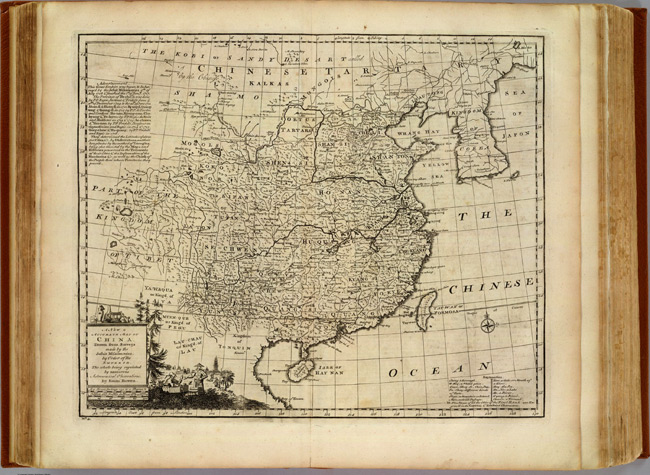
- Title: 1747 Map of China
- Publisher: William Innys
- Download: High-Res pdf
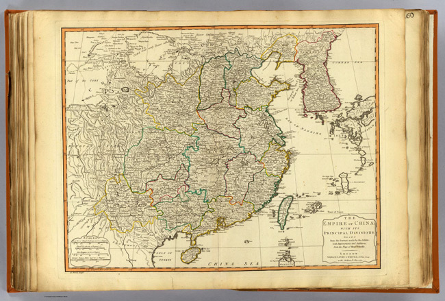
- Title: 1794 Map of China
- Publisher: Robert Laurie & James Whittle
- Download: High-Res pdf
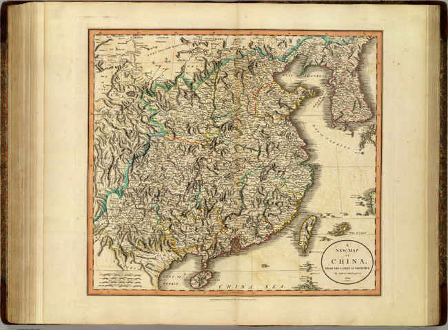
- Title: 1801 Map of China
- Description: 1570
- Publisher: John Cary
- Download: High-Res pdf
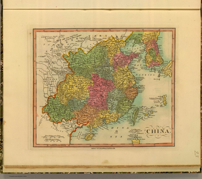
- Title: 1812 Map of China
- Publisher: William Darton
- Download: High-Res pdf
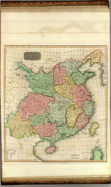
- Title: 1815 Map of China
- Publisher: Baldwin, Cradock, and Joy
- Download: High-Res pdf
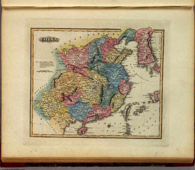
- Title: 1823 Map of China
- Description: 1854
- Publisher: Fielding Lucas Jr.
- Download: High-Res pdf
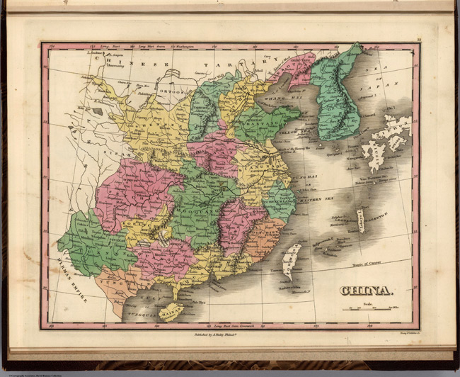
- Title: 1824 Map of China
- Publisher: Anthony Finley
- Download: High-Res pdf
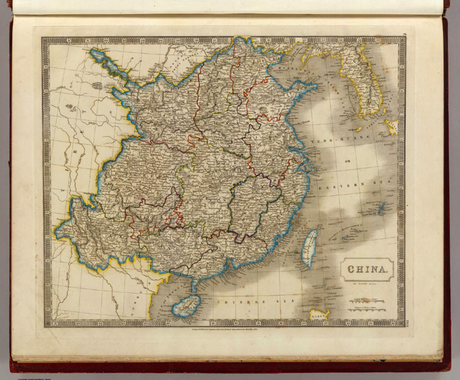
- Title: 1828 Map of China
- Publisher: Longman, Rees, Orme, Brown and Green
- Download: High-Res pdf
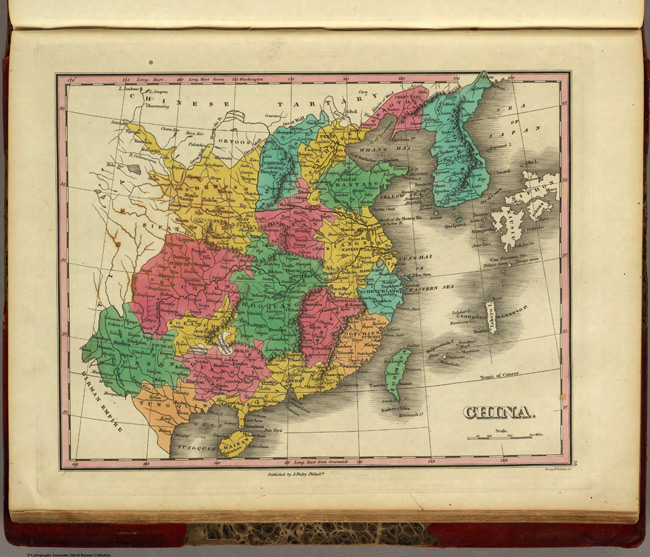
- Title: 1831 Map of China
- Publisher: Anthony Finley
- Download: High-Res pdf
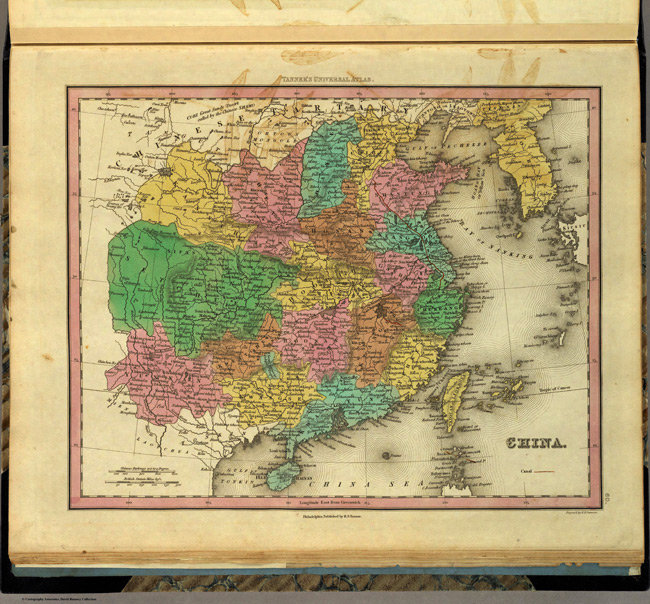
- Title: 1836 Map of China
- Publisher: Henry S. Tanner
- Download: High-Res pdf
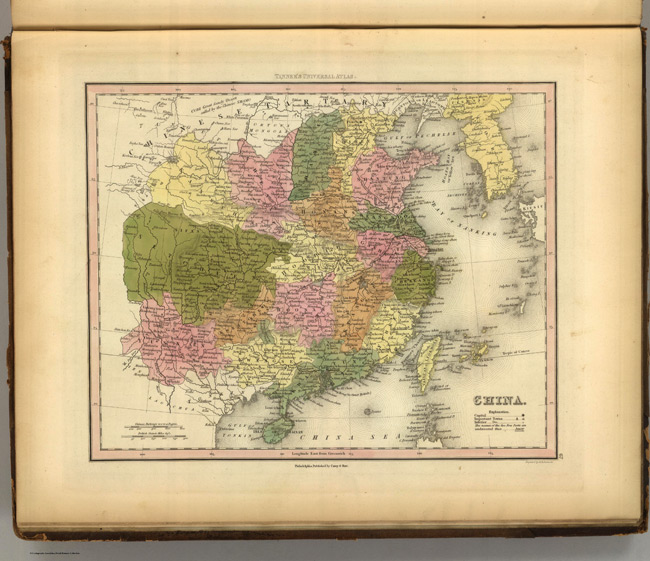
- Title: 1845 Map of China
- Publisher: Carey and Hart
- Download: High-Res pdf
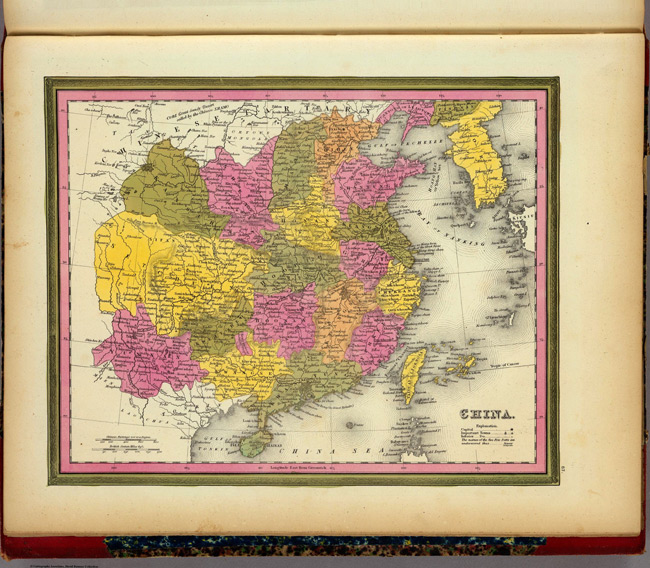
- Title: 1846 Map of China
- Publisher: Samuel Augustus Mitchell
- Download: High-Res pdf
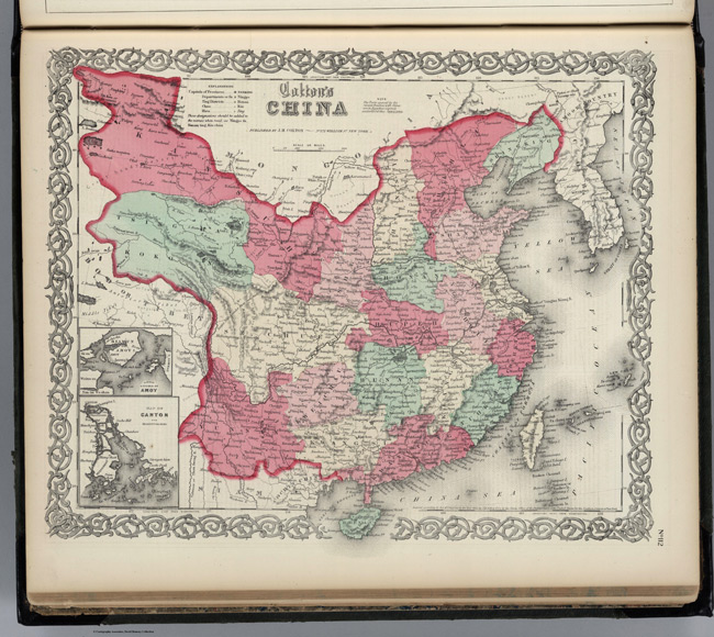
- Title: 1865 Map of China
- Description: 1903
- Publisher: J. H. Colton
- Download: High-Res pdf
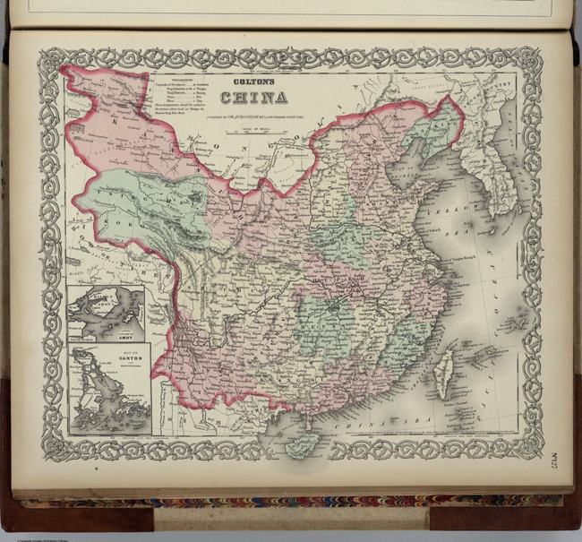
- Title: 1874 Map of China
- Description: 1851
- Publisher: G. W & C. B. Colton & Co.
- Download: High-Res pdf
Copyright © 1993—2025 World Trade Press. All rights reserved.

 China
China