 China
China Geography: Rivers
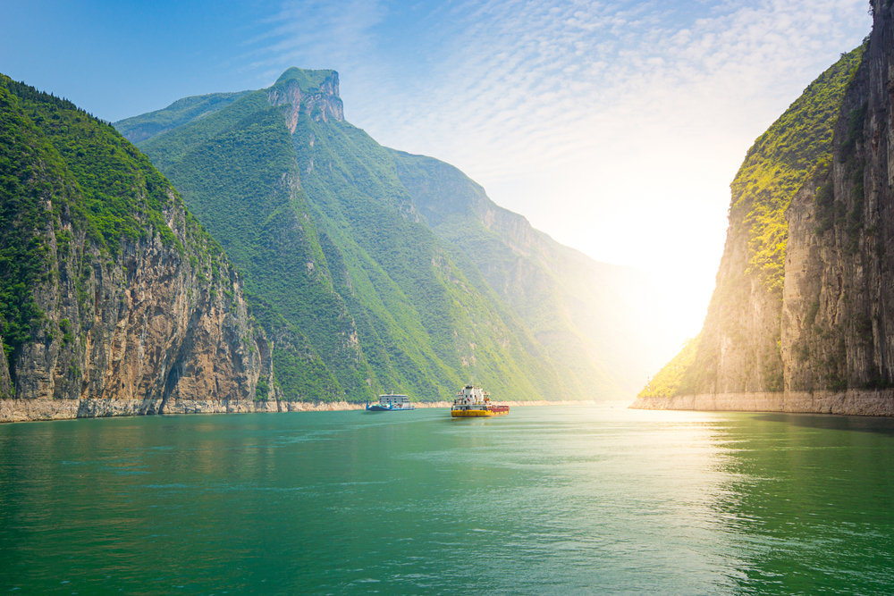
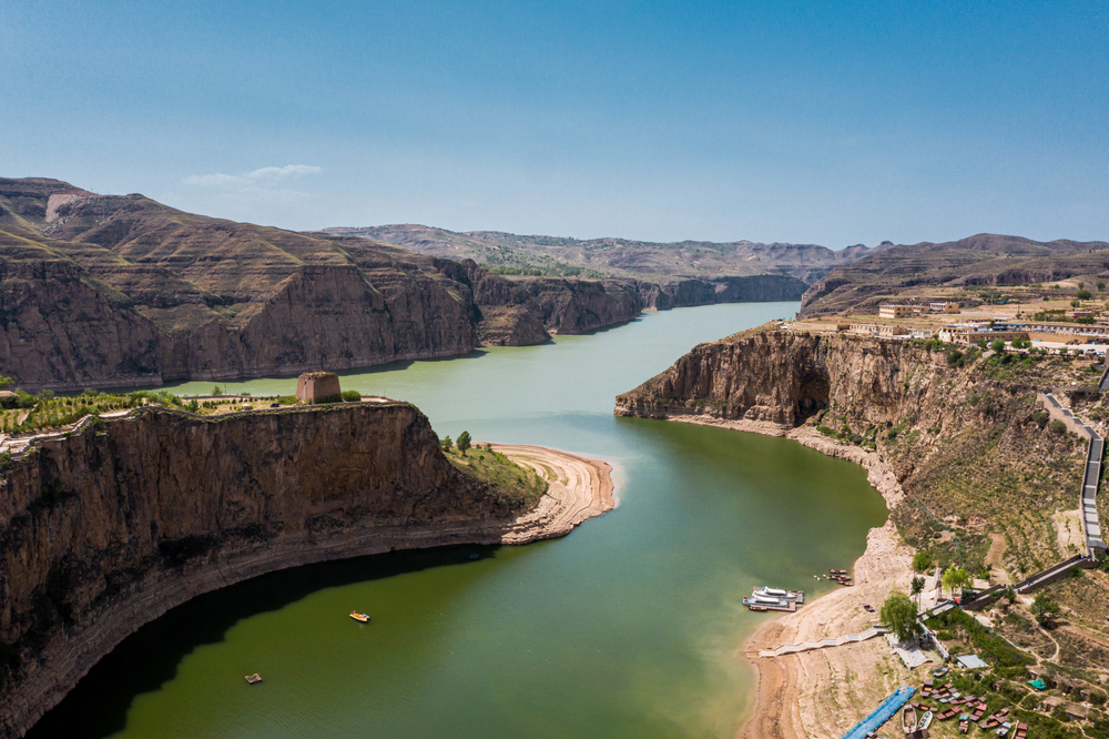
China, a vast and geographically diverse nation, boasts an extensive network of rivers that are deeply intertwined with its history, culture, and economy. These rivers flow through varied landscapes, from mountainous regions to fertile plains and bustling urban centers. They are the lifelines of China, playing a crucial role in agriculture, which has been the backbone of the country's economy for millennia. These waterways also support immense biodiversity and are key to many industrial and transportation networks. Beyond their economic importance, Chinese rivers hold profound cultural and historical significance, featuring prominently in literature, art, and ancient traditions. The table below provides a detailed overview of the major rivers in China, highlighting their lengths, sources, and outflows.
|
River Name |
Length* |
Source |
Outflow |
|
Yangtze River |
6,300 km (3,917 mi) |
Tanggula Mountains |
East China Sea |
|
Yellow River |
5,464 km (3,395 mi) |
Bayan Har Mountains |
Bohai Sea |
|
Lancang River (Mekong River) |
4,350 km (2,700 mi) |
Lasaigongma Spring, Mt. Guozongmucha, Zadoi, Yushu Tibetan Autonomous Prefecture |
South China Sea, Vietnam |
|
Yarlung Tsangpo River |
2,900 km (1,801 mi) |
Angsi Glacier |
Brahmaputra River |
|
Heilong (Amur) River |
2,824 km (1,754 mi) |
Tangnu Mountains |
Strait of Tartary |
|
Yenisei River |
5,539 km (3,445 mi) |
Khangai Mountains |
Kara Sea |
|
Brahmaputra River |
2,900 km (1,801 mi) |
Angsi Glacier |
Ganges River |
|
Indus River |
3,180 km (1,975 mi) |
Tibetan Plateau |
Arabian Sea |
|
Salween River |
2,815 km (1,749 mi) |
Tanggula Mountains |
Andaman Sea |
|
Ob River |
3,650 km (2,268 mi) |
Altai Mountains |
Kara Sea |
*Sources do not differentiate between the length of river that exists within the country’s borders and the overall length of the river irrespective of national borders.
Copyright © 1993—2025 World Trade Press. All rights reserved.